
2026 Atlantic Hurricane Season Outlook: Critical Prep Advised
Quick Verdict The 2026 Atlantic Hurricane Season Outlook presents a nuanced picture: while forecasters largely predict a below-average season, the overarching message from experts is a resounding call for heightened
Quick Verdict
The 2026 Atlantic Hurricane Season Outlook presents a nuanced picture: while forecasters largely predict a below-average season, the overarching message from experts is a resounding call for heightened preparedness and zero complacency. This isn't a forecast to dismiss; it's a vital informational product demanding serious attention, especially for those in vulnerable regions. The data models are robust, but the human element of readiness remains paramount.
Diving into the Data: Key Forecast Details
At the core of this year's hurricane season outlook are the projections from leading meteorological bodies. The National Weather Service (NWS), under the National Oceanic and Atmospheric Administration (NOAA), anticipates between eight and 14 named storms, with three to six developing into hurricanes, and one to three escalating to major hurricane status (Category 3, 4, or 5, packing winds of 111 mph or greater). For context, a typical Atlantic season traditionally sees 14 named storms, seven hurricanes, and three major hurricanes. The official season runs from June 1 through November 30.
Driving this below-average prediction is the expected development of an El Niño phenomenon. This natural climate pattern, characterized by unusually warm waters in the central and eastern equatorial Pacific, typically acts as a suppressant for hurricane activity in the Atlantic by increasing wind shear, which can tear nascent storms apart. However, this isn't the sole factor. Forecasters also highlight abnormally warm water temperatures in the Atlantic, a trend exacerbated by climate change. These warmer waters are known to fuel rapid intensification, meaning that any storms that do manage to develop could quickly become very powerful, even if their overall numbers are lower.
Expert insights reinforce this dual reality. Ken Graham, director of the National Weather Service, succinctly states, "It just takes one." Haiyan Jiang, a meteorologist at Florida International University, echoes this, noting a high chance of a strong El Niño but warning, "We see outliers all the time, especially with hurricanes. So I believe Floridians, we need to get prepared."
Information Quality and User Experience
Evaluating the 2026 hurricane season forecast as an informational product reveals a high standard of data transparency and crucial messaging. The NWS outlook clearly defines its parameters, offering numerical ranges for anticipated storm activity and explicitly stating that its predictions cover overall seasonal activity rather than specific landfalls, which are influenced by shorter-term weather patterns. This clarity manages user expectations effectively.
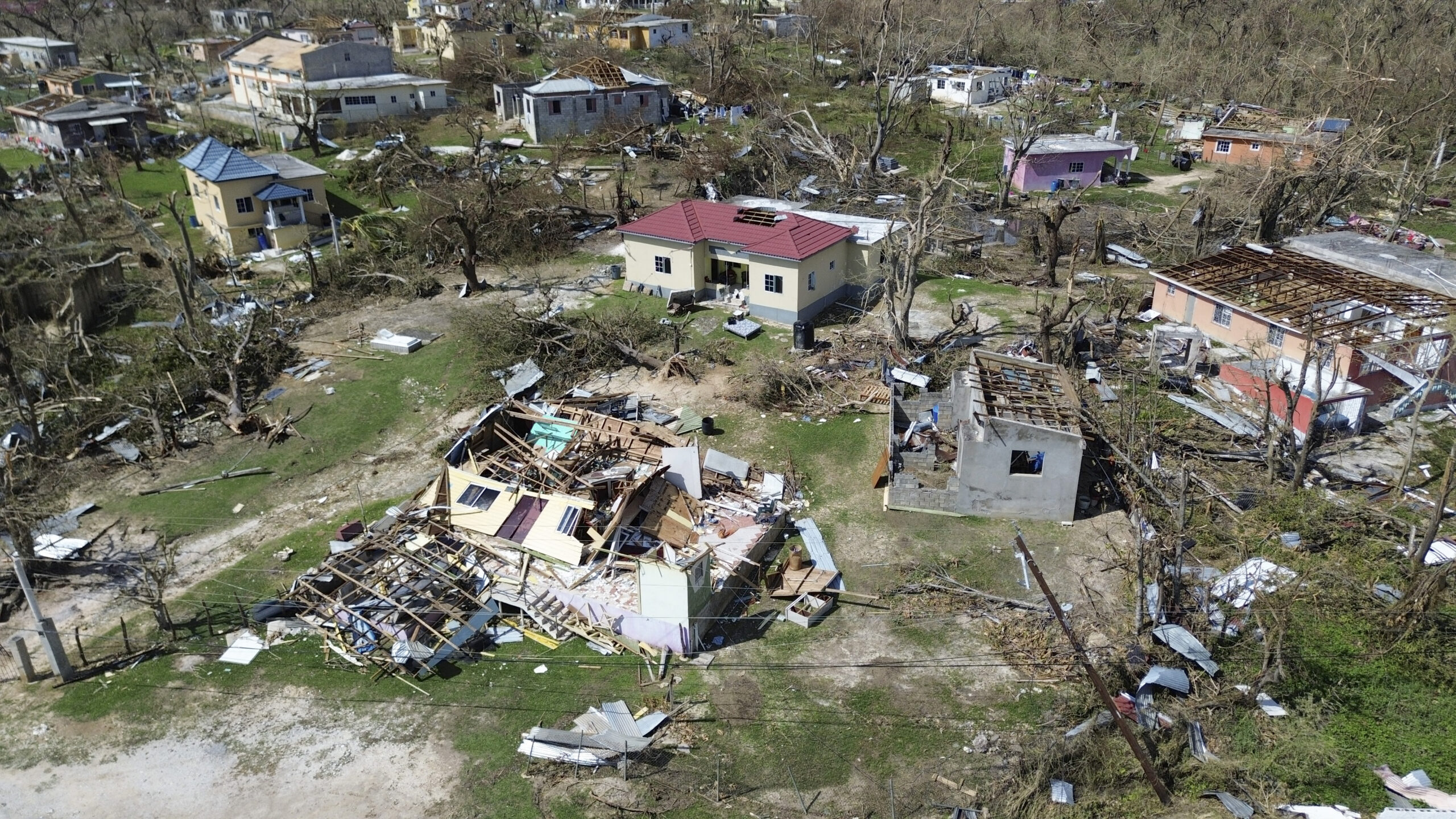
Perhaps the most critical "user experience" element of this forecast is its relentless emphasis on preparedness. Despite the below-average prediction, the core message is a proactive advisory: do not be complacent. This is a vital counter-balance to the raw numbers, preventing misinterpretation that fewer storms equate to less risk. The inclusion of the 2025 Hurricane Melissa example, which devastated Jamaica as a Category 5 storm causing nearly $9 billion in damage and 95 fatalities, serves as a stark, real-world reminder of the potential impact of a single powerful event, even when no hurricanes made US landfall in the same year.
The forecast's comprehensive nature is further enhanced by the list of 2026 Atlantic Tropical Cyclone Names, offering practical utility for tracking purposes once the season begins.
Pros and Cons
Pros:
- Data-Driven & Quantitative: Provides clear numerical predictions for named storms, hurricanes, and major hurricanes, backed by scientific models.
- Transparent Methodology: Explains the primary meteorological drivers (El Niño, Atlantic SSTs) influencing the forecast.
- Crucial Non-Complacency Warning: Actively mitigates the risk of misinterpretation of "below-average" through explicit advice and real-world examples.
- Multi-Source Validation: Incorporates insights from multiple respected institutions (NWS, NOAA, CSU, Union for Concerned Scientists, Florida International University).
- Actionable Guidance: While not detailing specific landfalls, the repeated call for preparedness offers concrete direction.
- Specific Landfall Probabilities (CSU): Colorado State University's forecast adds valuable, specific probabilities for US coastline landfalls.
Cons:
- Risk of Misinterpretation: Despite warnings, the "below-average" headline could still foster a false sense of security for some.
- No Specific Landfall Predictions (NWS): By its nature, the long-range seasonal outlook cannot predict exact landfall locations or timings, which can be frustrating for those seeking hyper-local risk assessment.
- Nuanced Climate Dynamics: The interplay between El Niño (suppressing) and warm Atlantic waters (intensifying) requires careful understanding to avoid oversimplification.
Comparative Analysis: Forecast Alternatives
While NOAA (via the National Weather Service) provides a definitive US government outlook, other reputable institutions offer their own independent predictions. Colorado State University (CSU) is explicitly mentioned as a key alternative, and their forecast largely aligns while offering some distinct data points.
| Feature/Metric | NOAA (NWS) Forecast | Colorado State University (CSU) Forecast |
|---|---|---|
| Named Storms | 8-14 | 13 |
| Hurricanes | 3-6 | 6 |
| Major Hurricanes | 1-3 | 2 |
| Season Type Chance | 55% Below-Normal, 35% Near-Normal, 10% Above-Normal | Implicitly predicted as below-average |
| Key Influencers | Expected El Niño, warm Atlantic waters | Expected El Niño, warm western tropical Atlantic, slightly cooler eastern tropical/subtropical Atlantic, warmer Atlantic also leads to lower atmospheric pressure and a more unstable atmosphere |
| US Landfall Probability | Not provided for specific landfalls seasonally | 32% (entire US coastline), 15% (US East Coast including Florida), 20% (Gulf Coast from Florida panhandle to Brownsville, Texas) |
Both forecasts converge on the expectation of a below-average season, primarily due to El Niño. CSU's projections for named storms and hurricanes fall within NOAA's broader ranges, providing a consistent message. A key differentiator is CSU's inclusion of specific US landfall probabilities, which offers an additional layer of detail for risk assessment. The consistency across these major forecasters lends significant credibility to the overall outlook.
Buying Recommendation: Heed the Advice
Given the analysis, our recommendation isn't about "buying" a product in the traditional sense, but rather about adopting the critical advice and utilizing the informational product effectively. The 2026 Atlantic Hurricane Season Outlook, as presented, is an essential tool for personal and community preparedness. Despite predictions of a below-average season, the unanimous expert warning against complacency is the most valuable takeaway. Therefore, it's highly recommended to:
- Actively engage with the forecast: Understand the numbers and the underlying climate phenomena.
- Prioritize preparedness: "It just takes one" potent storm to cause devastation, regardless of overall seasonal activity.
- Develop a personal hurricane plan: Don't wait for a storm to form; use this pre-season information to get ready now.
This forecast isn't a license to relax; it's a timely reminder to reinforce your defenses.
FAQ
Q: What does a "below-average" hurricane season prediction truly mean for my risk?
A: A "below-average" prediction means forecasters expect fewer named storms, hurricanes, and major hurricanes than typical. However, it does not mean zero risk. As experts emphasize, it only takes one powerful storm to make landfall and cause significant damage, regardless of the overall season's activity. Preparedness remains crucial.
Q: If El Niño suppresses Atlantic hurricanes, why are warm Atlantic waters a concern?
A: El Niño typically increases wind shear in the Atlantic, which can disrupt the formation of hurricanes. However, unusually warm Atlantic ocean temperatures, partly due to climate change, provide more energy for any storms that do manage to form. This can lead to rapid intensification, quickly turning weaker systems into major hurricanes, even if fewer storms overall develop. The two factors create a complex, nuanced outlook.
Q: The forecast mentions US landfall probabilities. How should I use this information?
A: Colorado State University provides specific probabilities for a hurricane making landfall along the entire US coastline, the East Coast/Florida peninsula, and the Gulf Coast. This data serves as a general indicator of risk for those regions. While not predicting specific storms or locations, it underscores that even in a below-average season, the chance of a hurricane hitting the US is not negligible. Residents in these areas should integrate this general risk assessment into their overall preparedness planning.
Related articles
Android 17 QPR2 Beta 7.1: The Performance Relief You've Been Waiting
Android 17 QPR2 Beta 7.1: Finally Fixing the QPR1 Performance Woes Verdict: Android 17 QPR2 Beta 7.1 is a crucial and highly anticipated software update for Google Pixel users, specifically targeting and resolving the

DJI Solo Video Setups: Smart Choices for Lone Creators
This review delves into DJI's recommended solo video setups, highlighting the Osmo Pocket 3 Creator Combo as a top pick for its integrated camera, gimbal, and mic. It also covers stabilizers like the Osmo Mobile 8 and RS 4, and the DJI Mic Mini series for enhanced audio, providing honest pros, cons, and clear buying advice.
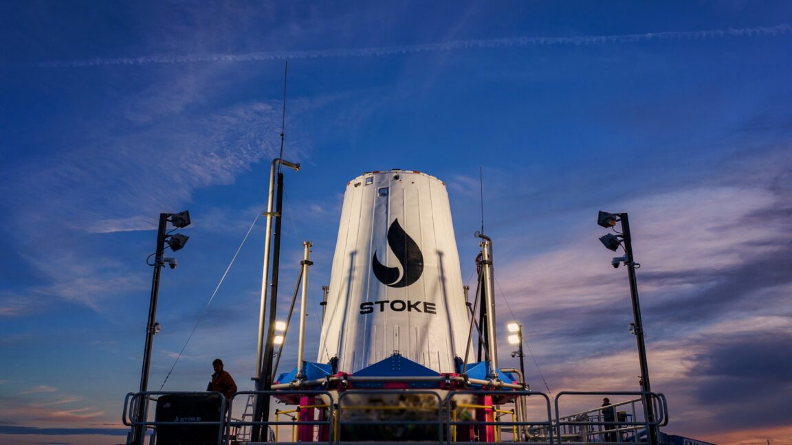
Ars Technica's Rocket Report: Your Essential Space Industry Briefing
Quick Verdict Ars Technica's Rocket Report, presented by veteran space reporter Stephen Clark, offers an invaluable and meticulously organized weekly (or similar frequency, implied by "Edition 9.15") digest of the most
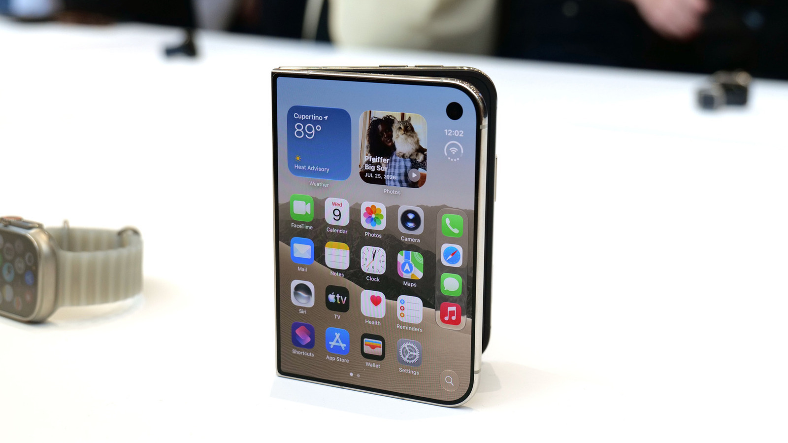
Apple iPhone Duo: A Daring Debut with Notable Compromises
Apple's highly anticipated iPhone Duo, priced at $2,000, has gone on pre-order. While hailed as "Apple's most exciting device in a decade" for its innovative foldable design and immersive display, it comes with significant drawbacks like the absence of FaceID and a premium camera.

AI's Confidence vs. Formal Methods' Rigor: Design Flaws & Verification
While AI accelerates code generation, formal methods remain critical for ensuring system correctness. Languages like TLA+ and tools like Quint enable developers to model and verify system designs before coding, catching subtle flaws. Quint makes formal methods more accessible with developer-friendly syntax and executability. This approach is vital for verifying AI-generated code through trace validation and model-based testing, ensuring reliability against real-world data.

Amazon Prime Video Launches AI-Powered Prime 360 for NBA Coverage
Amazon Prime Video is elevating its NBA coverage with the introduction of Prime 360, an AI-powered replay system offering immersive, 'fly through' views of the action. Kicking off its second season, Prime Video also adds Yahoo fantasy integration and gains exclusive Eastern Conference Finals rights, expanding its tech-driven sports broadcast. The new features aim to deliver a unique and interactive viewing experience for basketball fans.